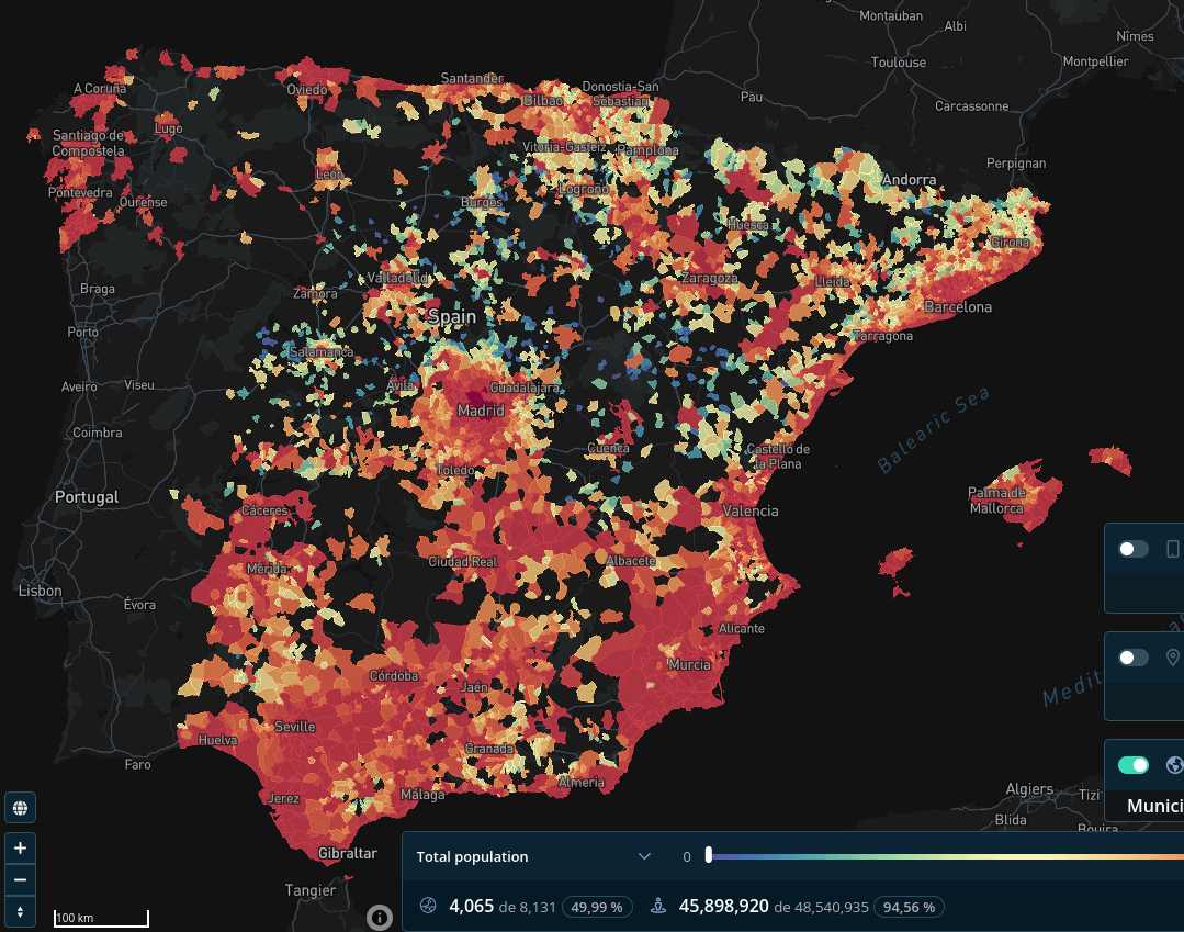
Tesela’s Affinity Index is a powerful tool that reveals high-demand zones by measuring affinity across various geographic areas, enabling market research and location-based targeting.
With the Affinity Index, quickly identify areas that align with your target audience’s behavior. Generate tailored insights by combining your data with Tesela’s robust dataset for precise, data-driven decisions..
Get Started in 3 Easy steps:
- Select Cartographic Level – Choose your preferred areas, from postal codes to geohashes.
- Select Variables – Customize analysis with variables and weights for accuracy.
- Create Affinity Index – Generate insights instantly for optimal location targeting.


